You are currently browsing the category archive for the ‘GIS Data’ category.
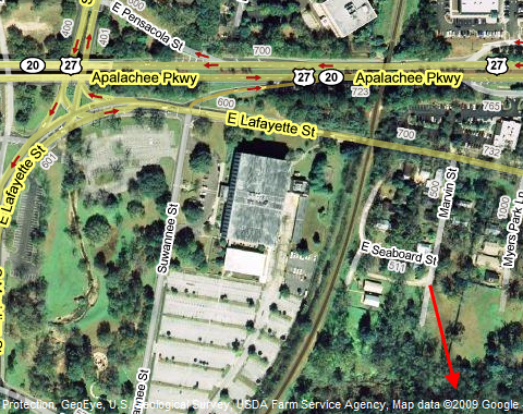
If you’re a GIS professional like I am, you probably have mixed feelings about Google claiming they have their “own” data. Now, I don’t blame Google for ditching TeleAtlas. At least in my area of interest, mainly the State of Florida, their linework was mediocre at best. But, Google has yet to disclose where exactly they are getting their new data from. Are they building this data themselves, or are they getting it from local municipalities?

Believe me when I say that I know from experience that building a cartographic dataset is no easy feat. Even with access to free data.
So, if they do use data from public sources, does that mean they will give their data back to the public also for free? I’m not talking about our free use of their maps; I’m talking about the actual GIS data they intend to create. Hopefully this doesn’t turn into another case of a money-grubbing company attempting to resell free data. It seems some municipalities have already cooperated with Google by handing over their data.
Economically, it makes sense to maintain your own data. If you can. I’d like to know how Google intends to control the quality of “their” data. Will it actually be better than TeleAtlas? Or will it be another hodgepodge of data where in the end the private companies ultimately rely on public data to build their linework?
Until we get more information, it seems only time will tell. So, what do you think?
