Whenever I meet anyone new, I often dread the question “What do you do?” Usually, I’m too lazy to go into all the inner workings of what I actually do – which includes database design/development, cartography, spatial analysis, project management, etc. So, I tell people “I make maps.” Then they ask what kind. Then I say “road maps.” They ask if I draw them, I say, “No, I use GIS. It’s like Google Maps.” That usually gives them enough information to know I do something involving maps and computers. Then I steer the conversation into another direction.
Then I started thinking. GIS is everywhere. It’s used in virtually every industry. Why is it so complicated to explain to people? I think the fact that since the field is so huge and that the applications are endless is why it’s hard to translate into everyday language. How do you explain how things like Google Maps really work to someone like your grandmother, or your 11-year old nephew? Sure, I can rattle off technical definitions, but that usually results in them being even more confused, or assume I’m insulting them because they don’t understand.
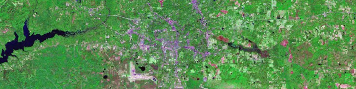
ESRI defines GIS as integrating “hardware, software, and data for capturing, managing, analyzing, and displaying all forms of geographically referenced information.” Sounds easy enough, until you get to the “geographically referenced information” part. What the heck does “geographically referenced” even mean? When I do come across someone who has a vague understanding of GIS I generally describe that we use coordinate systems and x,y information to help locate data. Or, we assign data coordinates based on their physical location. Then there are follow up questions like, “How do you find the coordinates? Do you actually go out and GPS them?” Sometimes we do, yes. But, thankfully I have access to aerial imagery that already has coordinates. So, I just have to find my house, click on the point and the picture on the screen will tell me my coordinates. The question that usually follows that is “can you show me my house? I want to see if so-and-so is home.” Then I have to explain that the imagery is not real-time. Then, they ask “so, you have coordinates, so then what?”
Then I get to explain spatial data analysis. The easiest way (I’ve found) is to use examples from emergency management. Living in Florida lets me use hurricanes as an easy example. Most people know about hurricane path predictions. So I tell them to imagine the path of a hurricane and to imagine its coming towards a big city like Miami or Tampa. The GIS people in Miami and Tampa can then overlay a picture the prediction cone on top of their town using a computer, and use it to identify what neighborhoods might be affected the most. Then, they can take their list of emergency shelters, and layer that information on top (visually) and then they can see exactly which ones they might need to open. I like to give an example saying, layering the data is like using transparencies from overhead projectors. Draw a sun on one, a house on another, and then a tree on a third. Then, lay them on top of each other – because are see-through (for the most part), and when you layer them, you end up with a complete picture (of course, if you are trying to explain GIS to a kid, you might need a different example. Most of them have probably never seen an overhead projector thanks to computers and powerpoint).
Thankfully, most people are content when I tell them I make maps. Which, is fine with me because it can be a burden to try and explain all of that during happy hour where it’s crowded and there is karaoke going on in the background. But, it is such a relief when you do meet that one person when you say you work with GIS and they’re like, “OH! Awesome!” Because, they understand how complicated it is, and how much effort is really needed to create the output you want. It’s not just about drawing lines on paper (although, that is how I imagine it started, and, I am thankful I live in the technology age because I know I would not have the patience to actually have to draw something. More or less use my left brain in anyway, since, I am artistically inept). It is about data integration, and creating new data from that integration that can then be used to help make decisions. It’s about making existing data do work for you, instead of you working to create data. And in the end, it’s really all about information. People thrive on knowing as much as possible, and GIS can provide unlimited amounts of information.


